The proliferation of GPS receivers, smart phones and netbooks have changed the way we plan and execute our road trips. Me, I'd say they've improved things dramatically, especially when it comes to making tangential stops and finding nearby places to eat and sleep.
Still, there are those times when connections fail us and we're left in the dark. Plus, we mustn't forget that there are still those of us without such high-tech devices to help us along the way.
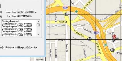
In such cases, Google Map Buddy from Augmented Reality Software can be a huge help. Using Google's online repository of maps and satellite imagery, GMB allows you to select a region, then automatically creates a large-scale, high-resolution image ready for print.
Use it to create a big paper map for your next excursion or, if you like, print out a giant aerial view of your home town for a nice wall display. Maybe even make a poster of the entire U.S. that you can use to stick pins in all the places you've been.
Lifehacker says the program can be a little "picky," but hey, it's free.


